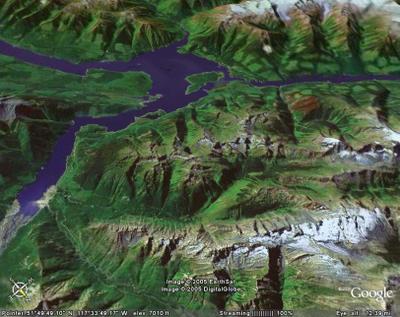
South Park from 12 Miles

This "Google Earth" image shows South Park and the South Side of the Chatter Creek cat skiing terrain from an altitude of about 12 miles. South Park is in the center of the image. The large mass of snow at the lower right is Vertebrae glacier. Kinbasket Lake is at the top of the image, Bush Arm is at the left.


<< Home